Posts

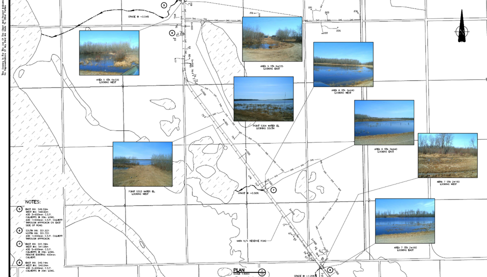
The community of Kahnawà:ke has observed erosion of the natural shoreline over the years, with particularly high-water levels and flooding in 2017. The shoreline and flood levels have also been impacted by interventions in the Great Lakes and the St. Lawrence, including construction of the seaway. With increased variability in weather patterns as a result of climate change, the community has identified a need to plan for rising water levels and shoreline erosion. In the Kahnawà:ke community, erosion & flooding poses a particular threat to houses & properties located directly on the shoreline, but also to fishing & recreation areas and a secondary drinking water inlet pipe location. We proposed to undertake a project that included a shoreline vulnerability assessment with an emphasis on the impact of climate change on shoreline erosion and flooding along the natural shoreline of the St. Lawrence River within the community of Kahnawà:ke.

We partnered with Shoreplan Engineering and with community members to complete the shoreline vulnerability assessment. Shoreplan conducted a technical coastal engineering assessment which included compiling existing data, completing a review of current & historic orthoimagery, conducting site visits to gather & quantify new data, assessing existing erosion control and the proposal of solutions to on-going erosion and flooding. The shoreline vulnerability assessment included both erosion and flood hazard assessments to determine the vulnerability of our community’s shoreline. The erosion hazard assessment allowed us to determine which structures along our shoreline are at risk of erosion in the future. The erosion hazard assessment revealed that the most significant cause of erosion on the studied shoreline was due to wind wave action, particularly at higher water levels. Wake generated by passing ships further contributed to erosion potential. The flood hazard assessment provided flood hazard limits to our community to help direct future development. It was discovered that a 20-year return period west-wind storm occurring at the 100-year water level will cause uprush that will overtop the riverbank and protection structures everywhere along the study area.

In addition to these field activities, we also hired a community member to conduct public awareness campaigns that addressed climate change in general as well as specifically in relation to this project. The hired community member also distributed a survey to land holders within the project study area to gauge impressions of erosion and flooding on land holder’s properties. Lastly, we hosted an open house event to provide additional information and gather input from the community.

A list of proposed options to address erosion and flooding along the shoreline were provided and tailored to specific reaches of the shore. These methods prioritized ‘soft’ solutions while also outlining the key characteristics for successful implementation of more engineered solutions if an individual landholder choses that approach. Among the natural methods it was suggested to use and enhance vegetation species already present on the landscape to reduce the erosive effects of wave action. This could include the implementation of a planting program with the goal of planting more of these local species of vegetation.  Infrastructure solutions discussed included the use of revetments, stacked armour stone walls, bulkheads or seawalls, groynes, breakwaters, and bioengineering alternatives.


Blog post: Mohawk Council of Kahnawà:ke

Since 2013, the Mi’kmaq Confederacy of Prince Edward Island (MCPEI) has supported the communities of Lennox Island and Abegweit First Nations in preparing and adapting to climate change impacts.

Recent studies have shown that climate change is contributing to sea-level rise, coastal erosion, and increased storm surges on Prince Edward Island, putting communities such as Lennox Island at risk. Coastal residences, critical community infrastructure, sacred grounds, and medicinal plant sites are all under threat from climate change and we needed to prepare for these challenges.

Having the community identify their priorities and concerns has been integral to the success of this project. We hosted workshops with Lennox Island and Abegweit First Nations to identify and prioritize key climate risks to the community. Issues related to emergency response and human health, vulnerability of infrastructure, sea-level rise, coastal flooding, and vulnerability of traditional fishing and hunting areas were identified as key concerns by the community. “Climate change adaptation and the protection of our home, Lennox Island, is one of the most pressing challenges we face today” stated Chief Darlene Bernard of Lennox Island First Nation. “We appreciate the partnerships that have formed to help us achieve that goal.”

We also partnered with the University of Prince Edward Island’s Climate Land and Simon Fraser University’s Spatial Interface Research Lab on the Coastal Impact Visualization Environment (CLIVE). CLIVE combines historical erosion data, model projections of sea-level rise, aerial imagery, and high-resolution digital elevation data to draw map out coastal erosion and future sea-level rise scenarios. By using 3D game engine technology, CLIVE is able to communicate climate change information to community members that is visual and easy to understand.

We are planning future activities that will include continued community consultations, development of an archeological climate change risk assessment tool, and training on how to operate UAVs for community members. Our project will culminate in the development of an adaptation plan that will help our communities improve their resiliency to climate change.

Caption: Audience at Lennox Island (PEI) attending community workshop on climate change


Blog Post from: Mi’kmaq Confederacy of Prince Edward Island

Researchers and Community looking at maps of flooding events

(Image: Researchers and community members looking at maps of flooding events in YQFN)

Introduction:

Being no stranger to threats from climate change through growing up with constant flooding, forest fires, and extreme weather overwhelming his community, Myron Neapetung, a Councilor at Yellow Quill First Nation, had an idea to help his community be better prepared for the future. Over the years, he had built relationships with the University of Saskatchewan, and felt like it was time to start gathering the Elders’ stories and working with scientists on climate change concerns so that ongoing problems could finally be resolved. In May 2018, together with Lori Bradford, an Assistant Professor in the School of Environment and Sustainability at the University of Saskatchewan, Myron launched a First Nations Adapt Program grant to look at their community’s vulnerability to more frequent flooding brought on by the effects of the climate emergency.

The project had four main parts. Looking back through records at the Band office, and the urban services office in Saskatoon, Myron realized that the community was short on record keeping and mapping capacities, so the first step was to contract LiDAR services (Light Detection and Ranging, a remote sensing method that uses a pulsed laser to measure ranges) for the entire watershed. With this very detailed information about the elevation of the land around the reserve, computer modelers at the University of Saskatchewan were able to put together risk maps and put these maps into models that predict flooding. The community was presented with maps that showed where water would likely go if there were a variety of storms, like 50- and 100mm flooding events. Elders and knowledge holders in the community verified these maps to help the computer modelers improve their accuracy. With a shortage of LIDAR available in Saskatchewan, the University-based modelers were very grateful to be involved in this work and learning from those experiencing flooding was incredibly valuable to them.

Picture 1: LIDAR DEM Map showing elevation

lidar map

The second step involved bringing people, young and old, from the community together to talk about flooding. That involved many community meetings in the summer of 2018, interviews with Elders and knowledge holders, projects with school students, and sharing circles. We also used a variety of other data gathering techniques like drawing and taking pictures of flood effects, going on extensive community tours, hosting poster sessions for feedback on any information gathered already, and enjoying many community lunches together. Myron, University students, and the researchers then analyzed the combined data from these activities and made posters and presentations to share with the community and other researchers at conferences.

Picture 2: Community meeting with posters

Community meeting with posters

The third step involved hiring three summer students in the community to look at the emergency management planning documents, and talk with emergency personnel, such as firefighters, road crews, water treatment officers, Chief and Council members, health care workers, wellness center staff, and others involved during emergencies. These students catalogued everyone’s ideas to improve emergency plans in the case of flooding. The three summer students are in the middle of summarizing their results and comparing them to what is written in the official documents.

Picture 3: Photo of records of previous work on flood engineering

Flood engineering

The last step for the vulnerability assessment was to invite some engineering experts to do an infrastructure assessment in the community to give a thorough review of important infrastructure that is at risk from ongoing flooding. The First Nation PIEVC Infrastructure Resilience Toolkit process will be occurring August 19-23rd in Yellow Quill with the assistance of the Ontario First Nations Technical Services Cooperative, Stantec Inc., and the Saskatchewan First Nations Technical Services Co-operative.

Picture 4: Where the water will go for certain flood events

Yellow Quill FN Watershed


The overall goal is to learn about the vulnerabilities of Yellow Quill First Nation so informed decisions about how to prepare for a future of unpredictable climate-related challenges can be made in a way that respects community-held knowledge and experience while also harnessing some of the hydrological modelling sciences to predict how climate change might affect daily life. This first climate change adaptation opportunity has spearheaded YQFN’s involvement in a number of research projects around water at the University of Saskatchewan and farther afield in Canada, and has provided a lot of capacity building opportunities for people from Yellow Quill to learn more about climate change, floods, research, and emergency management.


Authors: Myron Neapetung, Yellow Quill First Nation and Lori Bradford, University of Saskatchewan

On April 26, 2019, professional service firm Stantec received the Consulting Engineers of Ontario Award for its work developing the First Nations Infrastructure Resilience Toolkit (FN-IRT) in partnership with Ontario First Nations Technical Services Corporation (OFNTSC). The award recognizes the importance and innovative nature of the FN-IRT as a tool that can used by First Nation communities to identify how their infrastructure may be impacted by climate change and develop an asset management plan.

The FN-IRT was adapted from the widely recognized Engineers Canada’s Public Infrastructure Engineering Vulnerability Committee (PIEVC) protocol specifically for use by First Nations communities, many of whom are remote and isolated, and face unique risks from extreme weather, temperature, and precipitation due to climate change. The toolkit works by braiding together engineering information and Indigenous Knowledge to identify potential climate change impacts on a community’s infrastructure. Once these risks are identified, they can be taken into account in decisions regarding the maintenance, repairs, and replacement of roads, bridges, wastewater infrastructure, water treatment facilities, and more.

The FN-IRT is more streamlined than the original PIEVC protocol, making it suitable for use by small or remote First Nations with limited resources. Where First Nation communities may lack historical climate data, lndigenous Knowledge can be used to fill in gaps. Through understanding the risks of climate change to infrastructure, communities will be able to prepare for possible disasters before they happen and recover more quickly when they do occur.

The FN-IRT toolkit has been piloted in three First Nation communities: Mohawk Council of Akwesasne, Oneida Nation of the Thames, and Moose Cree First Nation, where it was used to assess climate change impacts on water and wastewater systems, housing, and schools.  Between 2018 and 2020, Crown-Indigenous Relations and Northern Affairs Canada’s First Nation Adapt program will be funding ten training sessions on applying the toolkit to 200 participants across Ontario.

We congratulate Stantec on their receipt of the Consulting Engineers of Ontario Award and their excellent work designing the toolkit in cooperation with OFNTSC. We look forward to learning how First Nations are applying this valuable tool in their communities.


Photo caption: Elmer Lickers from Ontario First Nations Technical Services (left) and Guy Félio from Stantec (right) receiving the Consulting Engineers of Ontario Award.


Author: OFNTSC

Events

Nothing Found

Sorry, no posts matched your criteria