On the tundra in Inuit Nunangat, an Elder kneels by thinning sea ice, pointing to the cracks forming earlier each spring. Nearby, community youth work with researchers to set up monitoring equipment that tracks ice thickness, temperature shifts, and permafrost thaw. Together, they are documenting climate change not from separate vantage points, but in conversation, where Inuit knowledge of the land and Western science meet.
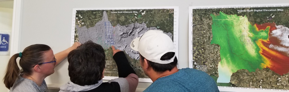
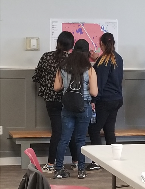
Across Canada, such collaborations are on the rise. Indigenous Nations and academic institutions are joining forces to confront climate change, weaving together Indigenous ways of knowing with scientific methods. These partnerships hold immense promise: they deepen understanding, inform adaptation strategies, and strengthen resilience for both Indigenous and non-Indigenous communities. But they also raise urgent questions about ethics, ownership, and how to move beyond colonial legacies that have historically extracted and exploited Indigenous knowledge.
The Promise and Pitfalls of Collaboration
When done respectfully, Indigenous–academic partnerships generate knowledge that neither system could produce alone. Indigenous expertise, rooted in millennia of relationship with land, water, and sky, offers insights into biodiversity, ecosystem health, and patterns of climate change that Western science is only beginning to measure. Meanwhile, academic research provides tools like data modelling, satellite mapping, and policy advocacy that can elevate Indigenous voices in national and global decision-making spaces.
Yet the pitfalls are significant. Indigenous intellectual property (IP), the stories, practices, symbols, and innovations that belong to Indigenous Peoples, has too often been taken without consent, acknowledgment, or benefit. In Canadian history, knowledge of plants, medicines, and land-use practices has been extracted and patented, leaving communities with nothing but loss and mistrust. These harms are not distant memories; they shape the caution and hesitation many Indigenous Nations feel when approached by universities today.
For Indigenous communities, protecting IP is not only about legal safeguards. It is about sovereignty: the right to control how knowledge is shared, by whom, and for whose benefit. Without this, collaboration risks reproducing the very colonial patterns it claims to resist.
Academia’s Growing Commitment to Ethical Partnerships
Thankfully, many Canadian academic institutions are beginning to come to terms with this history and adopt new approaches to research. Universities are developing frameworks and policies that embed principles of respect and accountability, such as:
- Free, Prior, and Informed Consent (FPIC): Research can only proceed with the voluntary and fully informed agreement of Indigenous Nations.
- Respect for Indigenous data sovereignty: Communities must control how data is stored, accessed, and used.
- Co-creation of research questions and methods: Projects must be shaped together, not imposed by academics.
- Equitable sharing of benefits and authorship: Indigenous collaborators must be credited and compensated fairly.
- Long-term accountability: Partnerships should outlast funding cycles and continue to serve community priorities.
This shift is not perfect, nor is it complete. But the trajectory is encouraging: Indigenous governance and ethics are increasingly central to climate research in Canada.
Consequences of Collaboration: Good and Bad
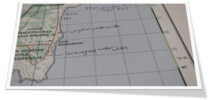
The outcomes of these partnerships are not abstract. They have real consequences for climate action on the ground. Where research has gone wrong, communities recall sacred sites being surveyed without consent, knowledge of medicinal plants being patented for corporate use, and environmental studies that used Indigenous stories but excluded Indigenous voices from authorship. These failures reinforce mistrust and make communities wary of outsiders.
By contrast, when done well, collaboration strengthens both knowledge and resilience. For example:
- The Kainai Nation and the University of Calgary collaborate on drought adaptation, combining climate modelling with traditional food system knowledge to develop locally grounded strategies.
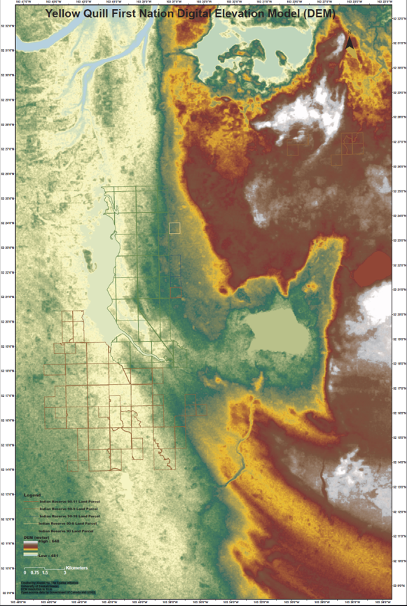
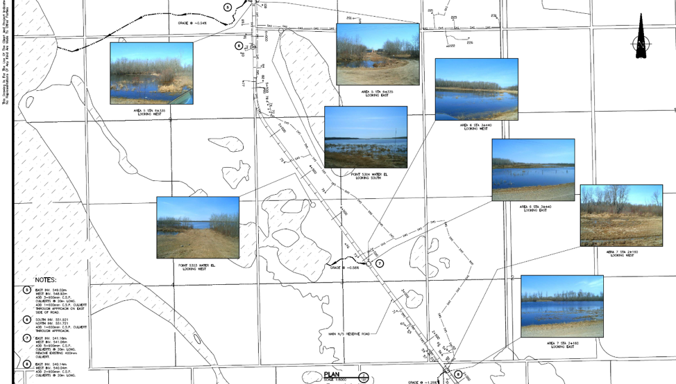
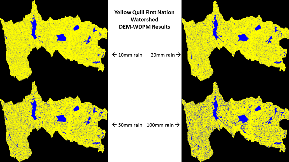
- The Tłı̨chǫ Government and Carleton University are monitoring permafrost thaw in the Northwest Territories, where Indigenous knowledge guides interpretation while scientific tools quantify the scale of change.
- The Anishinabek Nation and Lakehead University collaborate to restore wild rice beds, combining ecological monitoring with stewardship practices that sustain both ecosystems and culture.
These projects illustrate what is possible when Indigenous leadership is respected and academic expertise is aligned with community priorities.
Youth, Future Generations, and the Global Context
Collaboration is not only about research results, but also about building capacity for future generations. Training Indigenous youth in both traditional and scientific methods ensures continuity of stewardship and opens pathways into climate sciences, data analysis, engineering, and policy. This intergenerational transfer is critical, as it is young people who will live most directly with the consequences of climate change.
Canada is not alone in this work. Around the world, Indigenous communities are leading partnerships with academia. Māori researchers in Aotearoa, New Zealand, develop coastal restoration strategies grounded in whakapapa (genealogy), and Sámi leaders in Scandinavia combine herding knowledge with climate models to track changes in snow and migration patterns.
Canada has an opportunity and a responsibility to lead globally by embedding Indigenous governance within research institutions and climate policy.
What Indigenous Communities Should Consider
When invited into research collaborations, Indigenous Nations should feel empowered to set terms, ask questions, and safeguard their knowledge. Key considerations include:
- Consent: Has Free, Prior, and Informed Consent been obtained, clearly and respectfully?
- Intellectual Property: Who owns the data and knowledge? How will it be used, stored, and protected?
- Community Benefit: Does this project address our priorities and bring tangible benefits to our people?
- Co-creation: Were we part of shaping the questions and methods, or are we being slotted into a pre-existing framework?
- Cultural Protocol: Are researchers prepared to follow our laws, ceremonies, and privacy requirements?
- Data Sovereignty: Will data remain under our governance?
- Capacity Building: Will this train our youth, employ our people, or build local expertise?
- Publication Rights: Do we have control over how findings are published, and will our members be acknowledged as co-authors?
- Exit Plan: What happens when the project ends? Will knowledge, data, and benefits remain with us?
These questions are not barriers; they are safeguards to ensure collaboration is ethical, reciprocal, and grounded in Indigenous sovereignty.
Strengthening Indigenous–Academic Partnerships
To move forward, Canada must think beyond project-by-project partnerships and build systemic change built in true collaboration with Indigenous-led initiatives such as:
- Embedding Indigenous governance in research ethics boards.
- Supporting Indigenous-led research universities and centres of excellence.
- Creating funding streams that prioritize Indigenous research sovereignty.
- Establishing national policy frameworks to protect Indigenous knowledge.
- Formalizing spaces for reciprocal knowledge exchange that place Indigenous and Western knowledge systems on equal footing.
These steps shift collaboration from a transactional to a transformational approach.
A Call to Action
The convergence of Indigenous knowledge and academic research offers immense promise in confronting climate change. Together, these systems can generate insights grounded in centuries of relational stewardship and sharpened by scientific rigour. But true collaboration demands more than goodwill. It requires dismantling colonial patterns, affirming Indigenous intellectual sovereignty, and ensuring that research benefits the lands and peoples from which it arises.
To academia: move beyond consultation and share governance of research with Indigenous Nations.
To governments: fund Indigenous-led research and respect Indigenous sovereignty in climate policy.
To Indigenous Nations: know your power, set the terms, protect your knowledge, and demand reciprocity.
The path forward shines brightest when Indigenous and academic knowledge systems walk side by side. If Canada adopts this model, the future will not only be more just, but also more resilient for the land, the waters, and future generations.
Blog by Rye Karonhiowanen Barberstock
Image Credit : Julian Gentile, Unsplash