Intro to Floodplain Mapping & Indigenous Relationships to Water (Recorded Webinar)
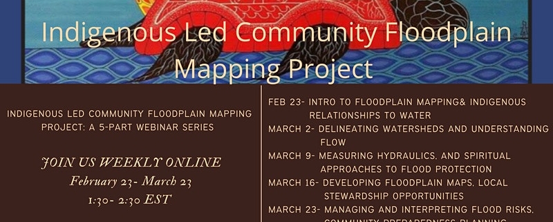
Chippewas of the Thames First Nation (COTTFN), Cambium Indigenous Professional Services, Lower Thames Valley Conservation Authority, Conservation Ontario, Canadian Environmental Law Association and Green Communities Canada are hosting a 5-part webinar series on an Indigenous Led Flood Plain Mapping Project.
Each session will explore approaches and community-engagement processes employed through the COTTFN Flood Plain Mapping project, completed over the last year. This provides a learning opportunity for Indigenous community members, and environmental professionals. Sessions run weekly online from Feb 23- March 23, 2022
Session One introduces participants to Watershed Management from the Conservation Authority perspective. It provides an overview of Climate Change Impacts on Floodplain Mapping and highlights the importance of having a community and Indigenous perspectives meaningfully included in this process.
Watch the first webinar on February 23rd below (1:02:21):
Link to Slides From Webinar: click here.
(Information source: Green Communities Canada, YouTube, Intro to Floodplain Mapping & Indigenous Relationships to Water)
(Image source: Poster from Indigenous Led Community Floodplain Mapping Project Eventbrite page)


