
About this event
Join Chippewas of the Thames FN (COTTFN), Cambium Indigenous Professional Services, Lower Thames Valley Conservation Authority, Conservation Ontario, Canadian Environmental Law Association and Green Communities Canada for a 5-part webinar series on an Indigenous-Led Flood Plain Mapping Project. Each session will summarize and explore the approaches and community-engagement processes employed through the COTTFN Flood Plain Mapping project, completed over the last year.
This is a great opportunity for learning for Indigenous community members, and environmental professionals.
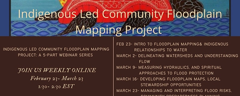
Sessions run weekly online from Feb 23- March 23 according to the following schedule:
Feb 23– Intro to Floodplain Mapping & Indigenous Relationships to Water
Session One will introduce participants to Watershed Management from the Conservation Authority perspective, provide an overview of Climate Change Impacts on Floodplain Mapping and highlight the importance of having a community perspective and more importantly an Indigenous perspective meaningfully included in this process.
March 2– Basic Hydrology & Understanding Flow: Community Perspectives from Oneida Nation of the Thames
Session Two will describe the analysis and definition of flood plain areas from both an Indigenous and Western perspective. It will provide an overview of Local Hydrology and monitoring including the use of tools such as rainfall, snow and water level gauges, how Community Members can participate and contribute to monitoring and future considerations as well as opportunities in undertaking this work.
March 9– Measuring Hydraulics, and Spiritual Approaches to flood Protection
Session Three will focus on the hydraulics and how high flows can travel through and potentially flood a community. Community Members will speak on histories including Indigenous Knowledge and how it has been used in the past to avoid flooding in the Community as well as experiences in being able to participate in this project. Views from Community Members will also be shared in regard to other considerations that should be included while undertaking the flood plain analysis and policy development.
March 16– Planning, Consultation, and Best Practices for Developing Floodplain Mapping in Indigenous Communities
Session Four will focus on development of floodplain mapping using the COTTFN project as an example. Protocols and the importance of understanding and following them will be touched on. It will include an overview of some policies and legislation that can be harnessed to assist in upholding rights and responsibilities to Mother Earth along with some examples of such.
March 23– Managing and Interpreting Flood Risks, Community Preparedness Planning
For more information, or to register for a workshop, visit the Eventbrite page.
(Information source: All information for this event sourced from the Evenbrite page).
(Header photo image source: Eventbrite page)

