Program Overview
In December 2017, the governments of Canada and Alberta renewed their commitment to provide clear and scientifically rigorous information about the environmental impacts of oil sands development in northeastern Alberta. This commitment also called for greater collaboration with representatives from local Indigenous communities to encourage Indigenous involvement in monitoring priorities and decisions.
The Government of Canada has committed up to $2 million annually to develop capacity for community-based environmental monitoring in the oil sands region that is designed and led by Indigenous communities. This funding opportunity will build capacity and provide an opportunity for community leadership in environmental monitoring design and implementation.
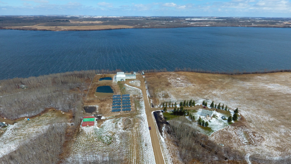
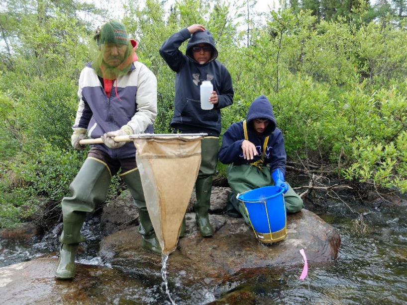
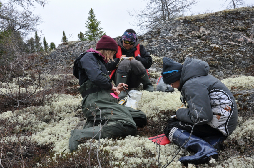
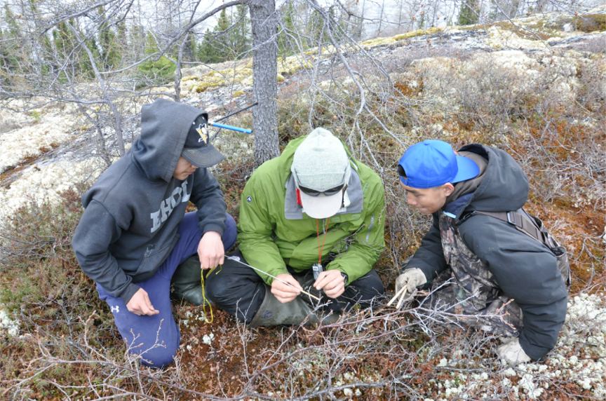
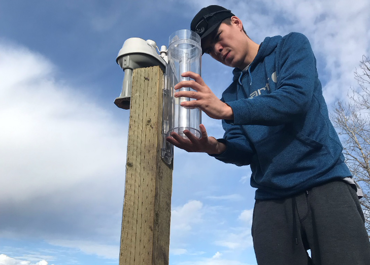
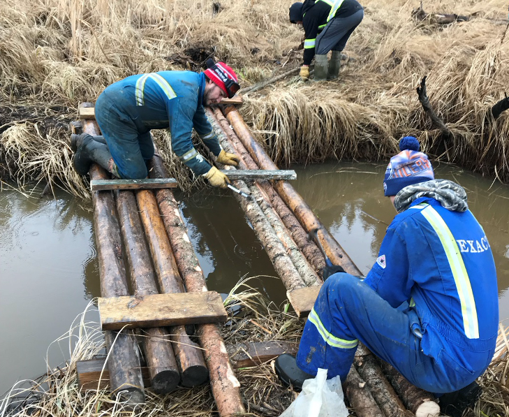
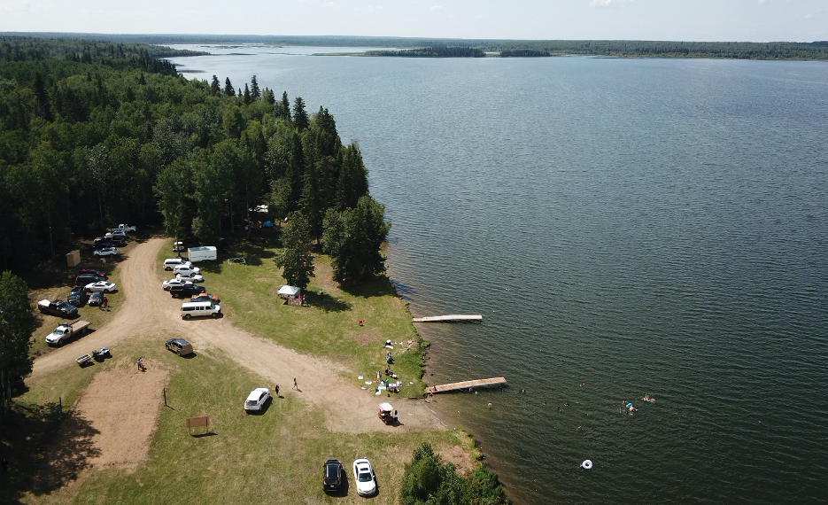
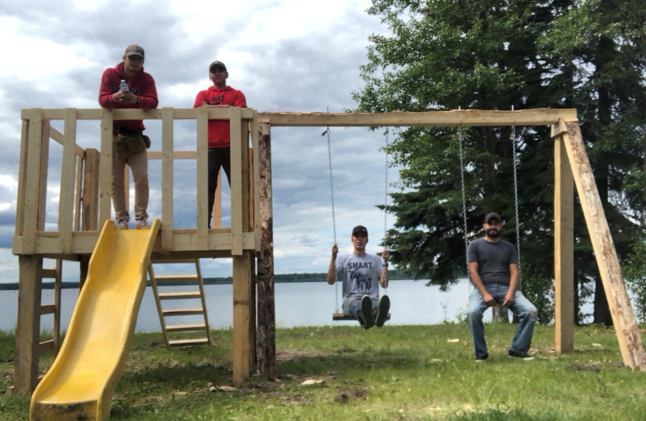
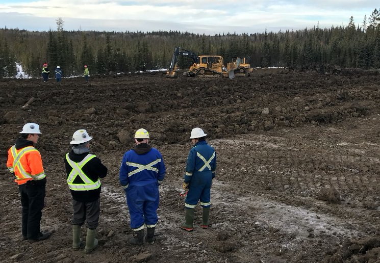
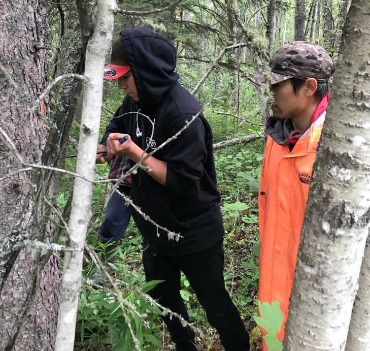
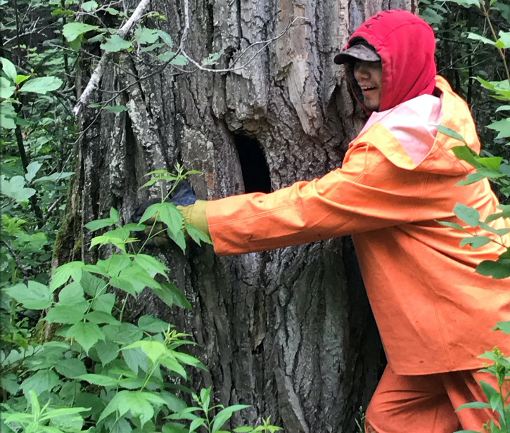
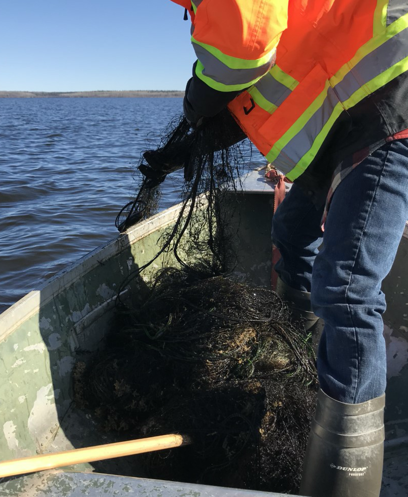
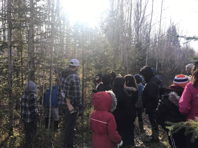
Environmental monitoring involves the systematic collection of samples and specimens from the air, water and land to determine the extent of impacts on the natural ecosystems and habitats. Project requirements are to be established by the community and based on their priorities.
While this opportunity complements the Oil Sands Monitoring (OSM) program in terms of its geographic scope and with its focus on environmental monitoring, the funding is separate from that of the OSM Program. Communities are not limited to environmental monitoring of impacts of oil sands development, but can consider environmental monitoring more generally in the oil sands region, or as it relates to ongoing or proposed resource development in the oil sands region.
Available Funding
The total amount of funding available under this program is up to $2 million annually. Owing to currently funded projects, there is $250,000 in funding available for new projects in 2020-2021. A project can run from one to three years and it is expected that funding will be in the range of $150,000 per year. However, consideration will be given to projects whose costs are higher or lower than this amount.
Who can apply?
Indigenous communities are eligible to receive funding through this program if they are located within the Oil Sands Monitoring (OSM) program boundaries (defined by provincial oil sands deposits layer) or with a designated interest in the OSM area (defined by the 160-km interim buffer as per Alberta Environment and Parks’ Métis Harvesting Policy 2010). This includes those First Nations, Métis Organizations and Métis Locals listed in the following table.
Indigenous communities can work with external partners, as long as their roles and responsibilities are clearly detailed in the project proposal. Examples of external partners include:
– other Indigenous communities
– federal, provincial, or regional governments
– non-governmental organizations
– academic institutions
– consultants
|
First Nations
|
Métis Organizations
|
Métis Nation of Alberta Locals
|
|
Athabasca Chipewyan First Nation
|
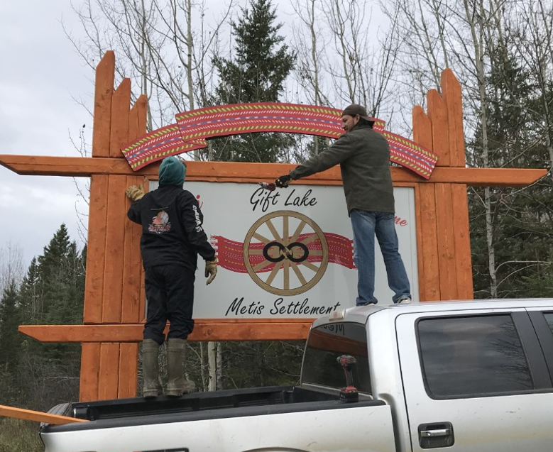
Buffalo Lake Métis Settlement
|
#100 Bonnyville
|
|
Beaver Lake Cree Nation
|
East Prairie Métis Settlement
|
#116 West Parkland
|
|
Bigstone Cree Nation
|
Elizabeth Métis Settlement
|
#125 Fort Chipewyan
|
|
Chipewyan Prairie Dene First Nation
|
Fishing Lake Métis Settlement
|
#1886 & #2085 Edmonton
|
|
Cold Lake First Nation
|
Gift Lake Métis Settlement
|
#1909 Lakeland
|
|
Dene Tha’ First Nation
|
Kikino Métis Settlement
|
#1929 Valleyview
|
|
Driftpile Cree Nation
|
Peavine Métis Settlement
|
#193 Conklin
|
|
Duncan’s First Nation
|
MNA Region 1
|
#1935 Fort McMurray
|
|
Fort McKay First Nation
|
MNA Region 2
|
#1949 Owl River
|
|
Fort McMurray First Nation
|
MNA Region 5
|
#1954 Big Bay /
Touchwood Lake
|
|
Frog Lake First Nation
|
MNA Region 6
|
#1990 Grande Prairie
|
|
Heart Lake First Nation
|
#1994 Cadotte Lake
|
|
Horse Lake First Nation
|
#207 Fairview
|
|
Kapawe’no First Nation
|
#2002 Buffalo Lake
|
|
Kehewin Cree Nation
|
#2010 Athabasca Landing
|
|
Little Red River Cree Nation
|
#2012 Lloydminister
|
|
Loon River First Nation
|
#2020 Fort McMurray
|
|
Lubicon First Nation
|
#2097 Lac la Biche
|
|
Mikisew Cree First Nation
|
#55 Gunn
|
|
Onion Lake Cree Nation
|
#78 Peace River
|
|
Peerless Trout First Nation
|
#780 Willow Lake (Anzac)
|
|
Saddle Lake Cree Nation
|
#83 Fort McKay
|
|
Sawridge First Nation
|
#90 Wabasca
|
|
Sucker Creek First Nation
|
|
Swan River First Nation
|
|
Tallcree First Nation
|
|
Whitefish (Goodfish) Lake First Nation
|
|
Whitefish Lake (Atikameg) First Nation
|
|
Woodland Cree First Nation
|
Project Considerations
Projects are to consider the following key components as they relate to environmental monitoring:
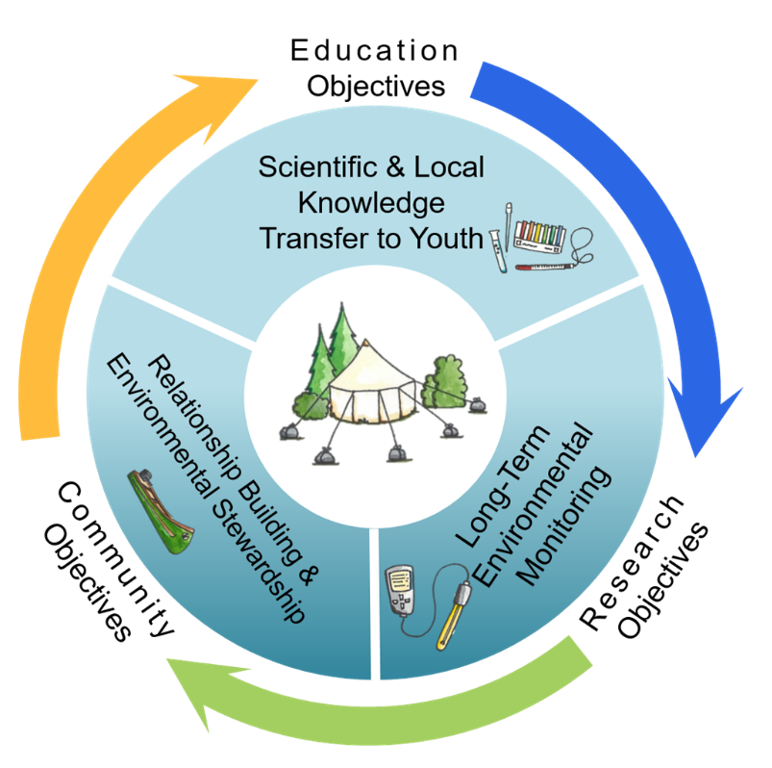
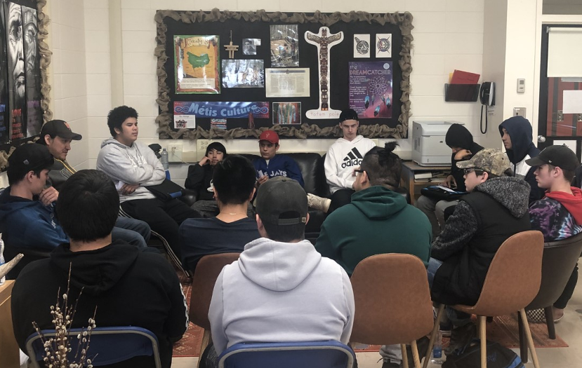
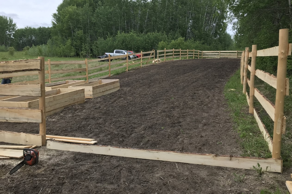
– Community-driven or supported initiative
– Encourage action towards the protection, conservation and positive impact on the environment
– Inclusive of relevant knowledge, which could include, but is not limited to, Indigenous Knowledge and science
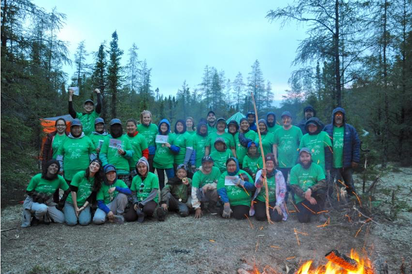
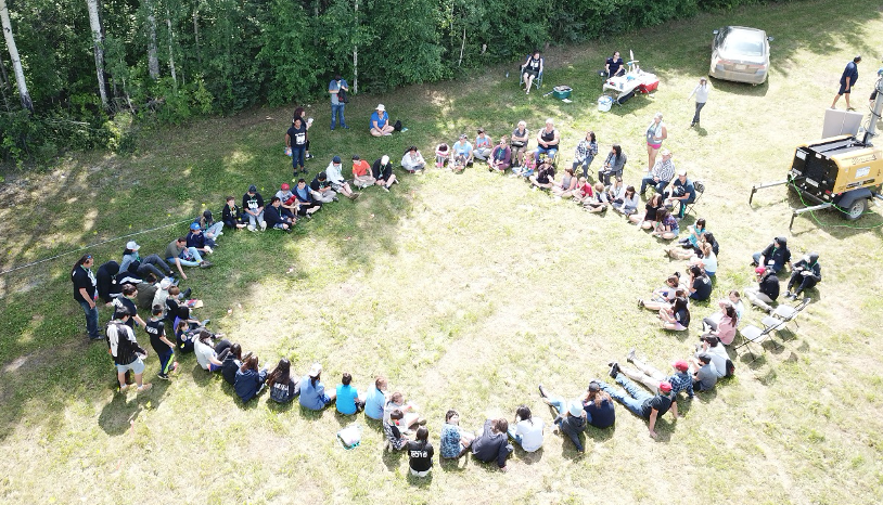
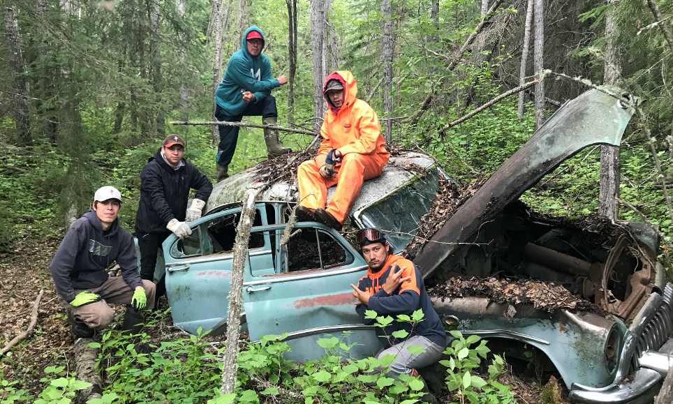
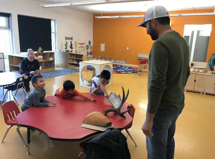
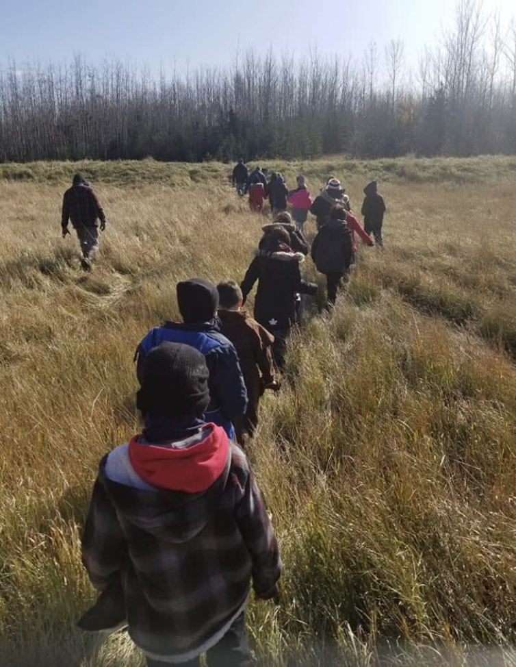
– Opportunities for training and/or youth engagement
– Data management plan to collect, manage, store and share data resulting from the project
The following are examples of types of projects that may be considered eligible:
– Increase the capacity to engage effectively in environmental management, and assess results and progress, as well as undertake activities related to networking, sharing of information and outreach
– Produce scientific research and monitoring related to ecosystem status, assessment and reporting, as well as research into the development of new technologies related to those issues
– Awareness, training, outreach or behavioural change projects on a specific environmental issue
– Establish, coordinate and update local or regional action plans and strategies
– Restoration of areas of concern or of special interest
How to apply?
1. Confirmation of community support for the proposed project is required. Proposals that are submitted without this confirmation will not be considered further.
2. Complete a project proposal, which must address, at minimum, the following key components.
– Title of the project/initiative
– Description of responsible community, organization or individual: this should include, but not be limited to, contact, expertise, and role in the project
– Description of partners: this should include, but not be limited to, information on all partners to the project, their expertise, and role in the project
– Location and duration: specify the project duration and location
– Project summary: provide a general overview of the project, including objectives and rationale, as well as alignment with this program
– Proposed work plan: detail how the applicant will scope, implement, and manage the project’s goals within the planned budget for the full duration of the project
– Expected results: specify expected results and how achievement of these results might be measured
– Project costs: summary of project costs, including a statement of the funds required from ECCC, and of other cash and in-kind contributions secured for the full duration of the project
3. Submit the project proposal and letter of community support by email to ec.surveillancedessablesbitumineux-oilsandsmonitoring.ec@canada.ca. The deadline for project proposal submission is midnight Eastern Time on Tuesday, 10 March 2020.
For more information
Inquiries can be directed to ec.surveillancedessablesbitumineux-oilsandsmonitoring.ec@canada.ca.
Next Steps
All applicants will receive an acknowledgement of receipt of their proposals. An evaluation committee will review the proposals based on the program goals and requirements. All applicants will be notified as to the outcome of this evaluation. Successful applicants will be required to provide input into the contribution agreement detailing the terms and conditions of funding.
NOTE: Click here for PDF (Printable) version of this posting.
French version below:
Fonds autochtone pour la surveillance environnementale communautaire
Aperçu du programme
En décembre 2017, les gouvernements du Canada et de l’Alberta ont renouvelé leur engagement à fournir des données claires et scientifiquement rigoureuses sur les impacts environnementaux de l’exploitation des sables bitumineux dans le nord-est de l’Alberta. Cet engagement préconisait également une plus grande collaboration avec les représentants des collectivités autochtones locales afin d’encourager les Autochtones à s’investir dans les priorités et les décisions en matière de surveillance.
Le gouvernement du Canada s’est engagé à verser jusqu’à 2 millions de dollars par année pour développer une capacité en matière de surveillance environnementale communautaire dans la région des sables bitumineux conçue et dirigée par les collectivités autochtones. Ce financement permettra de renforcer la capacité et favorisera le leadership communautaire pour la conception et la mise en oeuvre d’une surveillance environnementale.
La surveillance environnementale englobe la collecte systématique d’échantillons et de spécimens de l’air, de l’eau et des terres afin de déterminer l’étendue des répercussions sur les écosystèmes naturels et les habitats. Les exigences liées aux projets seront établies par la communauté et en fonction de ses priorités.
Bien que cette opportunité complémente le programme de surveillance des sables bitumineux (SSB) en termes de portée géographique et de concentration sur la surveillance environnementale, le financement est distinct de celui du programme SSB. Les collectivités ne sont pas limitées à la surveillance environnementale des impacts du développement des sables bitumineux, mais peuvent tenir compte de la surveillance environnementale plus générale, ou en ce qui concerne le développement en cours ou proposé des ressources dans la région des sables bitumineux.
Financement disponible
Le montant total de financement disponible dans le cadre de ce programme ira jusqu’à 2 000 000 $ par année. En raison des projets actuellement financés, 250 000 $ de financement sont disponibles pour de nouveaux projets en 2020-2021. Un projet peut durer de un à trois ans et le financement pourrait alors être de l’ordre de 150 000 $ par année. Toutefois, les projets dont les coûts sont supérieurs ou inférieurs à ce montant seront aussi pris en compte.
Admissibilité
Les collectivités autochtones qui se trouvent dans les limites du programme de Surveillance des sables bitumineux (SSB) (définies par les couches de dépôts de sables bitumineux) ou ayant un intérêt désigné dans la région de SSB (définie par une zone tampon provisoire de 160 km conformément à la Politique sur la récolte des Métis de 2010 du ministère de l’Environnement et des Parcs de l’Alberta). Il s’agit des Premières Nations, des organisations de Métis et des sections locales de l’association de la Nation métisse (ANM) de l’Alberta indiquées dans le tableau ci-dessous.
Les collectivités autochtones peuvent collaborer avec des partenaires externes, dans la mesure où leurs rôles et responsabilités sont clairement décrits dans la proposition de projet. Voici des exemples de partenaires externes :
– autres collectivités autochtones;
– gouvernements fédéral, provinciaux ou régionaux;
– organisations non gouvernementales;
– établissements d’enseignement;
– experts-conseils.
|
Premières Nations
|
Organisations de Métis
|
Sections locales de l’ANM de l’Alberta
|
|
Athabasca Chipewyan First Nation
|
Buffalo Lake Métis Settlement
|
#100 Bonnyville
|
|
Beaver Lake Cree Nation
|
East Prairie Métis Settlement
|
#116 West Parkland
|
|
Bigstone Cree Nation
|
Elizabeth Métis Settlement
|
#125 Fort Chipewyan
|
|
Chipewyan Prairie Dene First Nation
|
Fishing Lake Métis Settlement
|
#1886 & #2085 Edmonton
|
|
Cold Lake First Nation
|
Gift Lake Métis Settlement
|
#1909 Lakeland
|
|
Dene Tha’ First Nation
|
Kikino Métis Settlement
|
#1929 Valleyview
|
|
Driftpile Cree Nation
|
Peavine Métis Settlement
|
#193 Conklin
|
|
Duncan’s First Nation
|
MNA Region 1
|
#1935 Fort McMurray
|
|
Fort McKay First Nation
|
MNA Region 2
|
#1949 Owl River
|
|
Fort McMurray First Nation
|
MNA Region 5
|
#1954 Big Bay /
Touchwood Lake
|
|
Frog Lake First Nation
|
MNA Region 6
|
#1990 Grande Prairie
|
|
Heart Lake First Nation
|
#1994 Cadotte Lake
|
|
Horse Lake First Nation
|
#207 Fairview
|
|
Kapawe’no First Nation
|
#2002 Buffalo Lake
|
|
Kehewin Cree Nation
|
#2010 Athabasca Landing
|
|
Little Red River Cree Nation
|
#2012 Lloydminister
|
|
Loon River First Nation
|
#2020 Fort McMurray
|
|
Lubicon First Nation
|
#2097 Lac la Biche
|
|
Mikisew Cree First Nation
|
#55 Gunn
|
|
Onion Lake Cree Nation
|
#78 Peace River
|
|
Peerless Trout First Nation
|
#780 Willow Lake (Anzac)
|
|
Saddle Lake Cree Nation
|
#83 Fort McKay
|
|
Sawridge First Nation
|
#90 Wabasca
|
|
Sucker Creek First Nation
|
|
Swan River First Nation
|
|
Tallcree First Nation
|
|
Whitefish (Goodfish) Lake First Nation
|
|
Whitefish Lake (Atikameg) First Nation
|
|
Woodland Cree First Nation
|
Considérations relatives aux projets
Les projets doivent envisager les éléments clés suivants en matière de surveillance environnementale :
– initiative appuyée ou dirigée par la collectivité;
– encouragement de la protection de l’environnement, sa conservation et des répercussions positives sur l’environnement;
– intégration de connaissances pertinentes, comme, mais pas seulement, des savoirs autochtones et des connaissances scientifiques;
– possibilités de formation ou de participation des jeunes;
– plan de gestion des données visant à collecter, à gérer, à conserver et à échanger les données découlant du projet.
Voici des exemples de types de projets pouvant être considérés comme admissibles.
– Accroître la capacité à participer efficacement à la gestion de l’environnement, à évaluer les résultats et les progrès, ainsi qu’à entreprendre des activités liées au réseautage, à l’échange d’information et à la sensibilisation.
– Produire des recherches scientifiques et des activités de surveillance liées à l’état de l’écosystème, à l’évaluation et à la production de rapports, ainsi que des recherches sur le développement de nouvelles technologies liées à ces enjeux.
– Projets d’éducation, de formation, de sensibilisation ou de changement de comportement sur un enjeu environnemental précis.
– Établissement, coordination et mise à jour de stratégies et de plans d’action locaux ou régionaux.
– Restauration des secteurs préoccupants ou d’intérêt particulier.
Comment présenter une demande?
1. Obtenir la confirmation de l’appui de la collectivité au projet proposé. Les propositions soumises sans cette confirmation seront rejetées.
2. Remplir une proposition de projet qui doit contenir, au minimum, les principaux éléments suivants :
– le titre du projet ou de l’initiative;
– la description de la collectivité, de l’organisation ou de la personne responsable, notamment ses coordonnées, son expertise et son rôle dans le projet;
– la description des partenaires, notamment des renseignements sur tous les partenaires du projet, leur expertise et leur rôle dans le projet;
– le lieu et la durée du projet;
– le résumé du projet, qui fournit un aperçu général du projet, y compris ses objectifs et sa justification, et la façon dont il s’inscrit dans le programme;
– le plan de travail proposé, indiquant en détail la façon dont le demandeur définira, mettra en oeuvre et gérera les objectifs du projet dans les limites du budget prévu pendant toute la durée du projet;
– les résultats attendus et la façon dont la réalisation de ces résultats sera mesurée;
– les coûts du projet résumés, notamment l’énoncé des fonds demandés à ECCC ainsi que des autres contributions en espèces et en nature obtenues pour toute la durée du projet.
3. Envoyer la proposition de projet et la lettre de soutien de la collectivité par courriel à ec.surveillancedessablesbitumineux-oilsandsmonitoring.ec@canada.ca. La date limite de présentation des propositions de projet est le mardi 10 mars 2020, à minuit (heure de l’Est).
Pour de plus amples renseignements
Les demandes de renseignements peuvent être envoyées à l’adresse suivante : ec.surveillancedessablesbitumineux-oilsandsmonitoring.ec@canada.ca.
Prochaines étapes
Tous les demandeurs recevront un accusé de réception de leur les propositions. Un comité d’évaluation examinera les propositions en fonction des objectifs et des exigences du programme. Tous les candidats 4
seront informés du résultat de cette évaluation. Les candidats retenus devront fournir leurs commentaires sur l’accord de contribution précisant les modalités du financement.
PDF